Swansea Historical Society

Historical Districts
- The Colony Historic District - Southern Gardner's Neck
- Barneyville Historical District
- Hortonville Historical District
- Luther's Corner Historical District
- Swansea Historical Village District
- NHR Houses not in Historic Districts
- Historical Homes not listed in Historic Districts or on the National Register
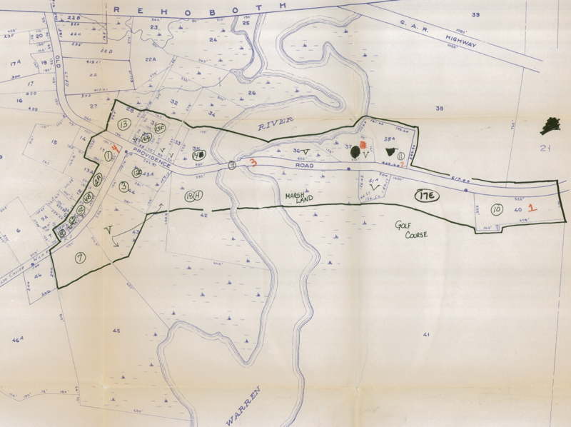
Barneyville Historic District - Information based on the National Archives Catalog
The homes on this list are noted as Local Historic Resources in the Historic and Cultural Resources section of the Master Plan for the Town of Swansea. Where available, links are provided to Swansea Historical Society surveys, the National Historic Register site information sheets and/or survey forms found on the Massachusetts Cultural Resource Information System (MACRIS) website.
"Barneyville Historic District contains the greatest concentration of buildings associated with growth of the village from the mid-18th century through the early 20th century. A location of early agricultural settlement oriented toward the Palmer (Warren) River, Barneyville became a self-sufficient village with the flourishing of its successive shipbuilding and jewelry-making industries in the 19th century. Now entirely residential, the district maintains its rural character."
HISTORICAL SIGNIFICANCE: "Barneyville was first settled in the 17th century, when the Rev. John Myles, pastor of the First Baptist Church and one of Swansea's first settlers, built his garrisoned home near the present intersection of Barneyville Road and Old Providence Road after 1563. A memorial tablet (1912, MHC #A5) was erected near the site of the garrison, which burned in 1909. Connecting colonial development to the east in Swansea and to the west in what is now Barrington, Rhode Island was Myles (also known as Miles) Bridge over the Palmer River, one of the earliest bridges erected in this section of Bristol County."
More detailed information on The Barneyville Historic District can be found on the National Archives website:
- Massachusetts MPS Swansea MRA
- Massachusetts MPS Barneyville Historic District
- The Barneyville Historic District from the MACRIS website (
 )
)
View the 1982 Massachusetts Historical Commission Reconnaissance Survey Town Report:
All Barneyville Historic District houses shown below are listed on the National Archives website:
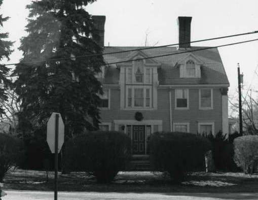
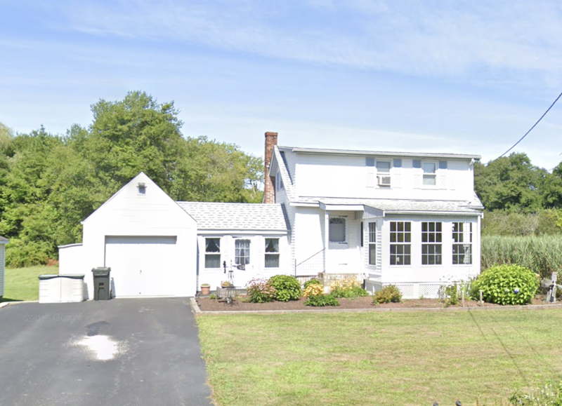
1 Barneyville Road 1801-1812 |

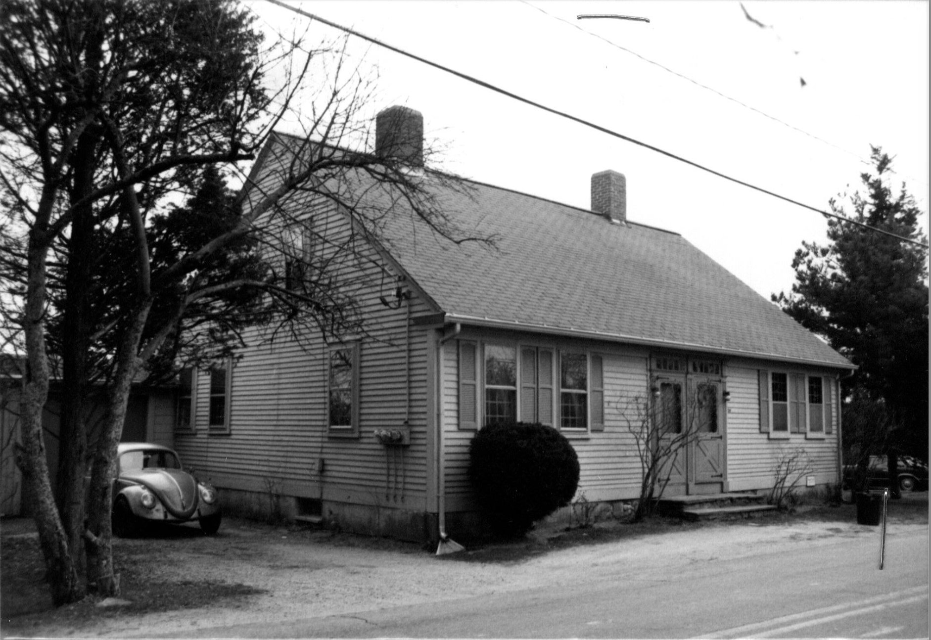
5 Barneyville Road c. 1950 |
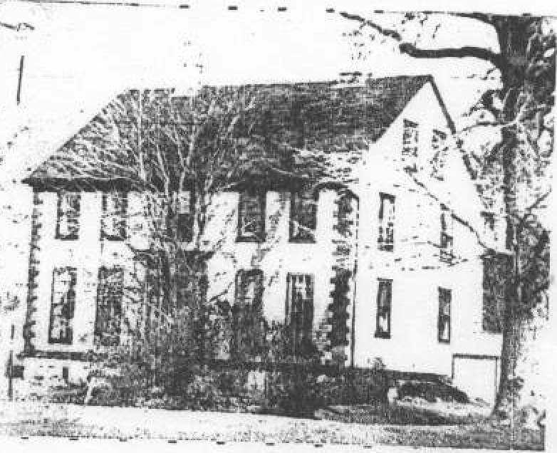
22 & 24 Barneyville Rd 1771-1774 |
47 Barneyville Road c. 1950 |
51 Barneyville Road c. 1950 |
55 Barneyville Road c. 1950 |
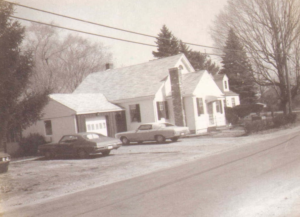
60 Barneyville Road c. 1903 |
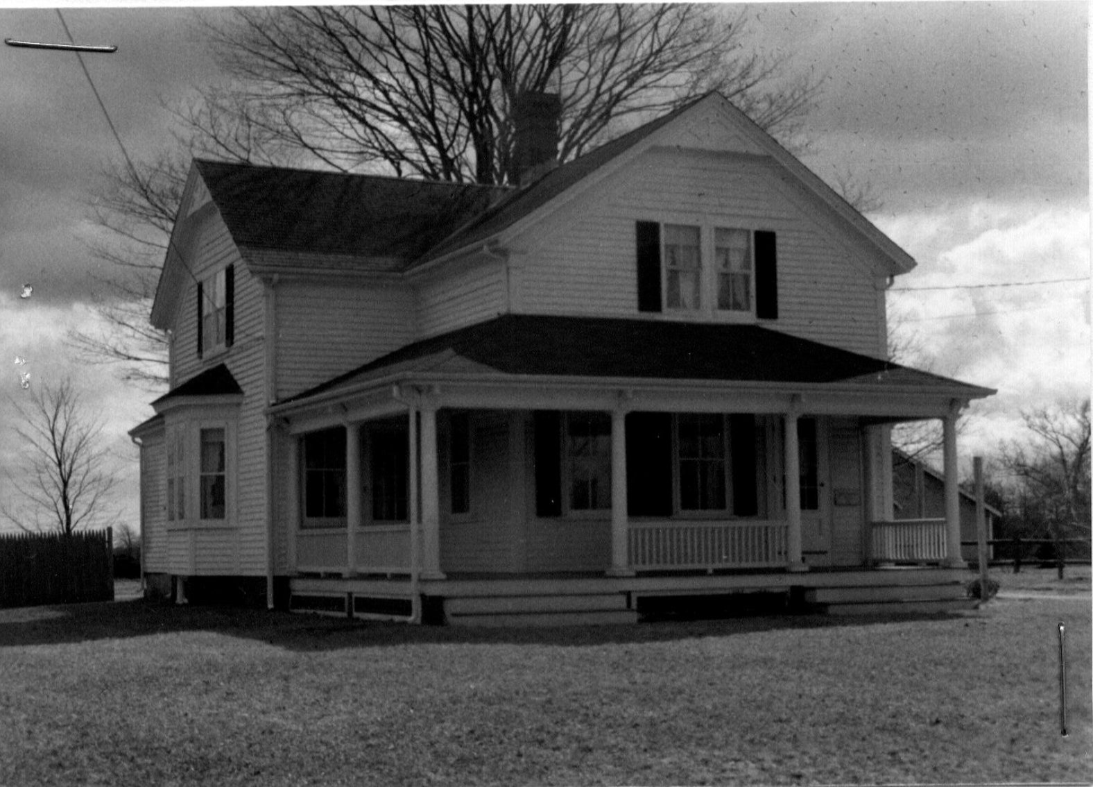
77 Barneyville Road c. 1821 |
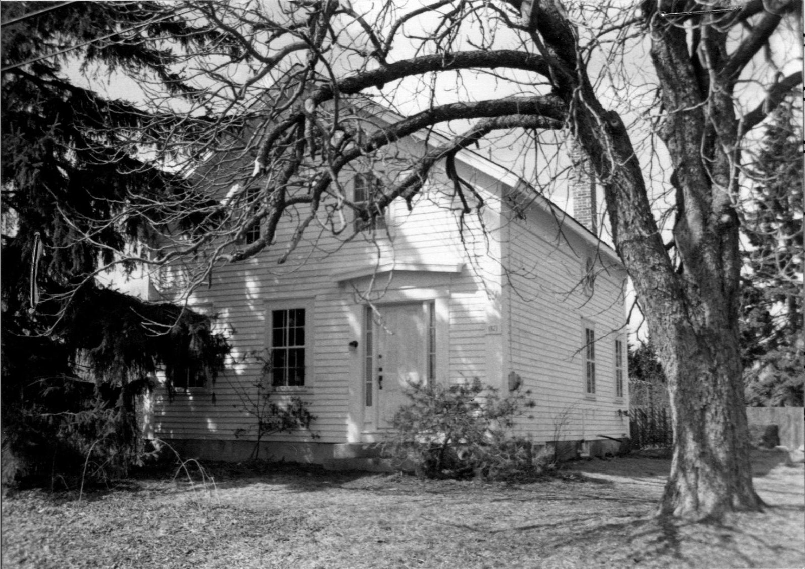
166 Old Providence Rd c. 1749 |
|
Old Providence Rd c. 1960's |
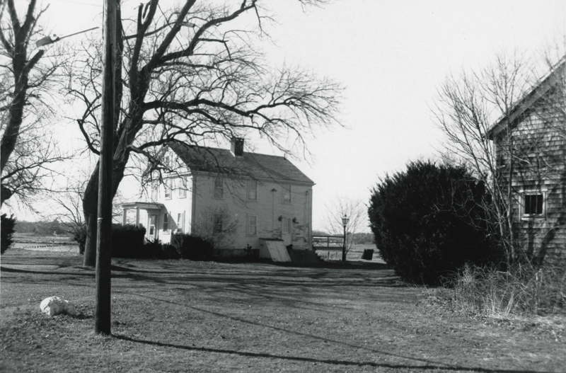
227 Old Providence Rd c. 1840 |
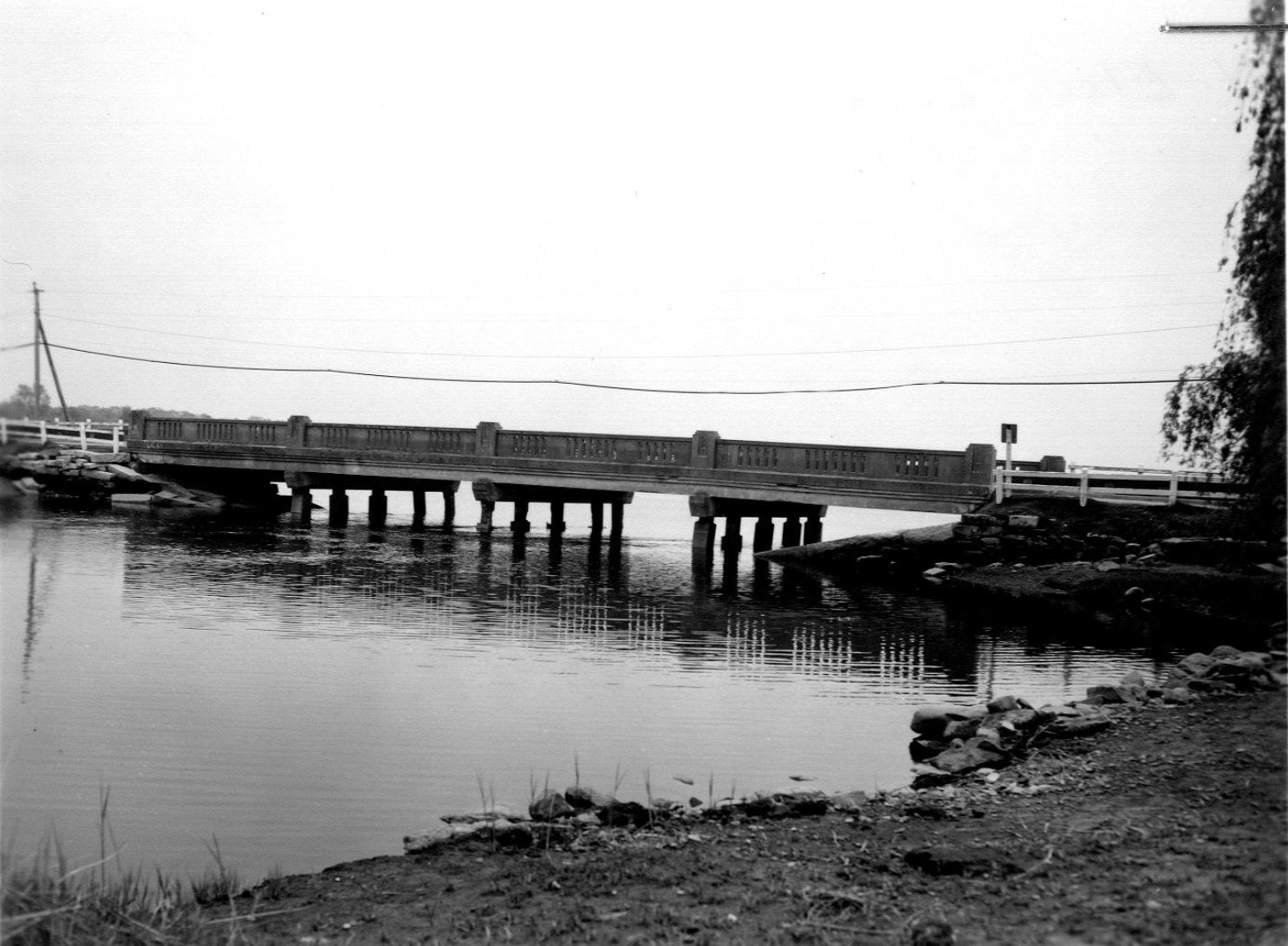
Bungtown Bridge Old Providence Rd c. 1938 |
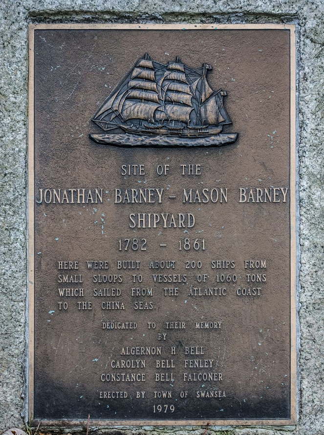
Old Providence Rd/Barneyville Rd c. 1983 MACRIS Survey Barney Shipyard Site Marker |
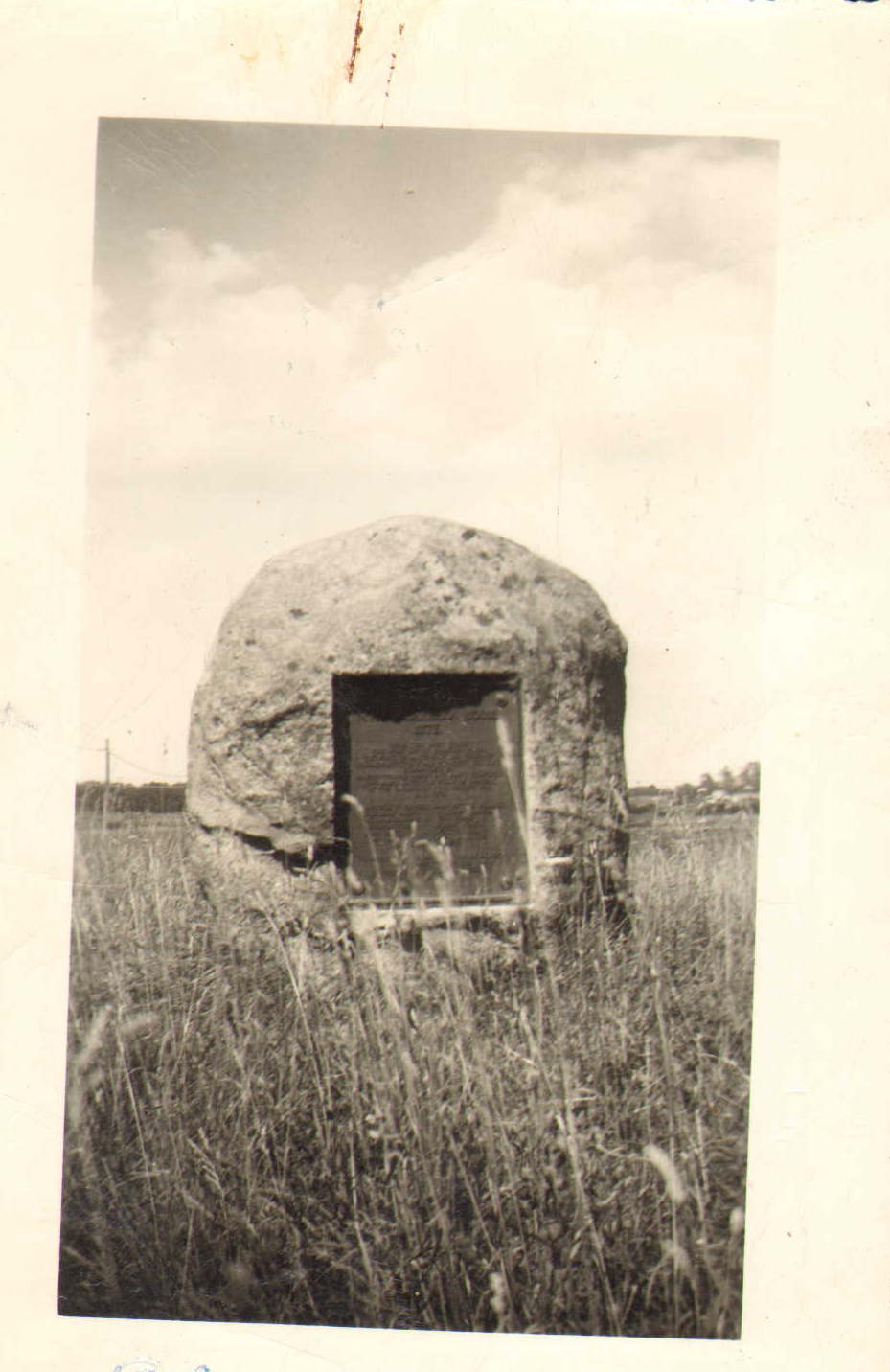
Old Providence Rd c. 1912 MACRIS Survey Myles Garrison House Site Marker |
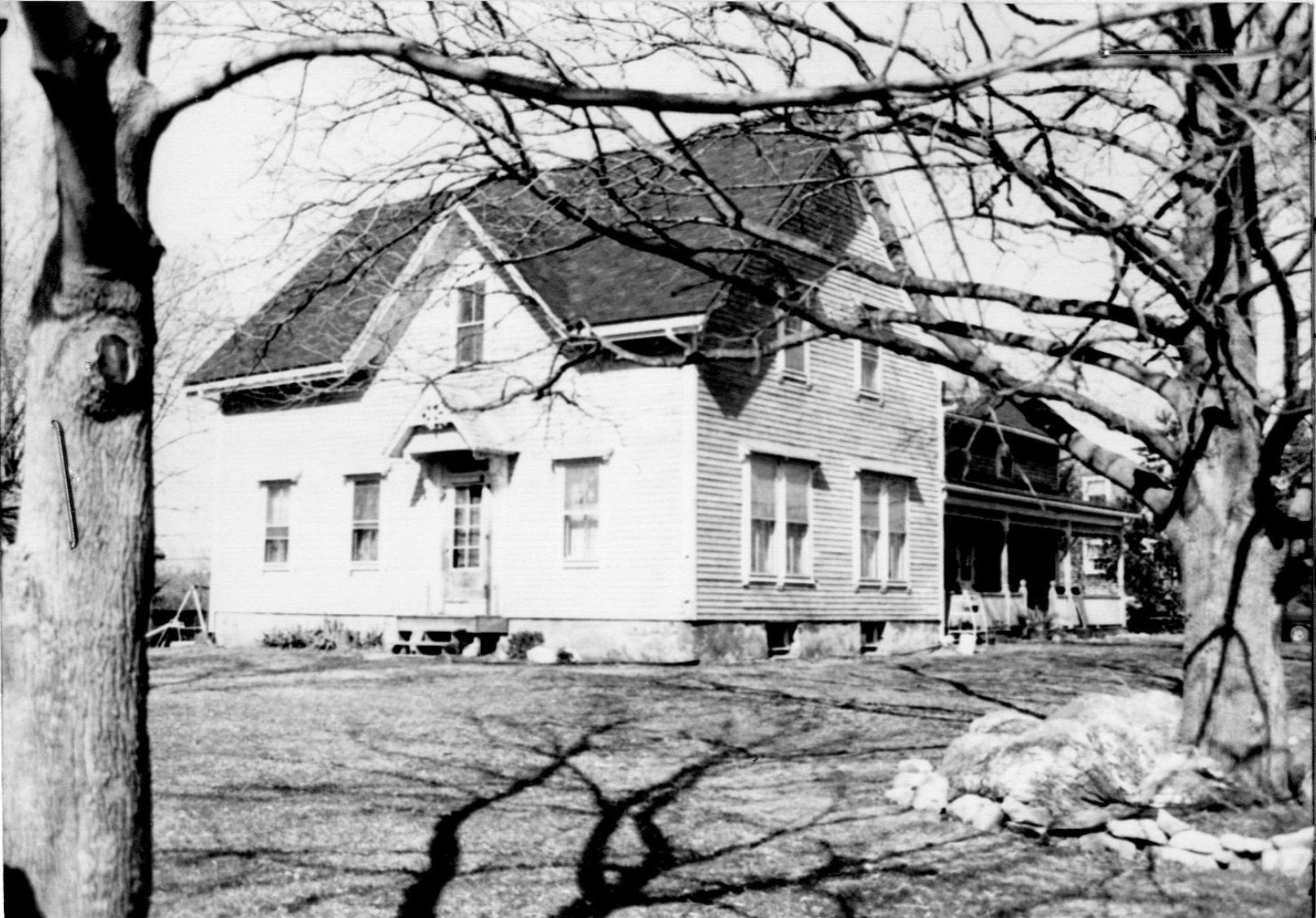
328 Old Providence Rd c. 1950 |
|
331 Old Providence Rd c. 1920 |
363 Old Providence Rd c. 1950 |
367 Old Providence Rd c. 1950 |
Graham's Tavern 5 Mason Street c. 1860 |