Swansea Historical Society

Historical Districts
- The Colony Historic District - Southern Gardner's Neck
- Barneyville Historical District
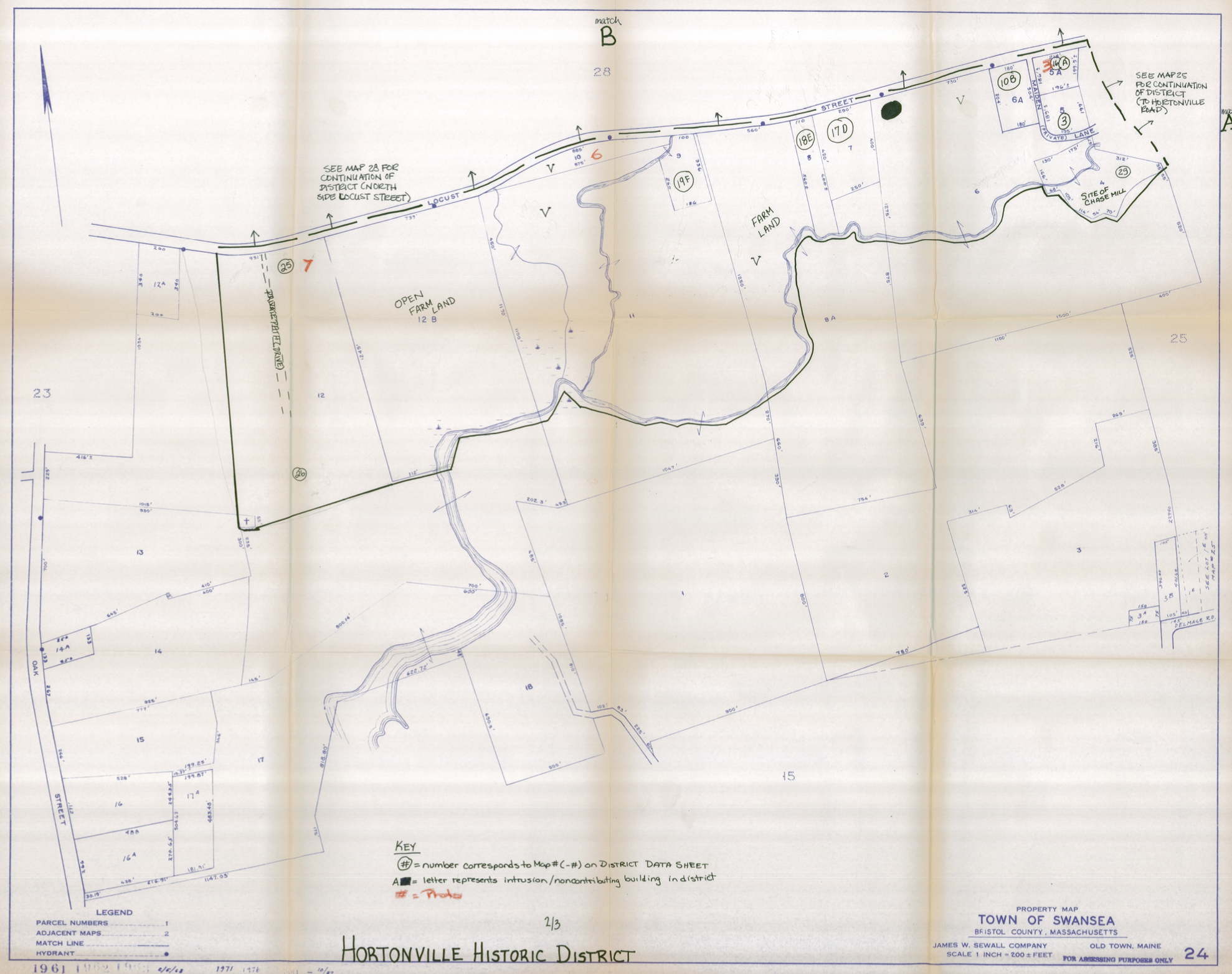
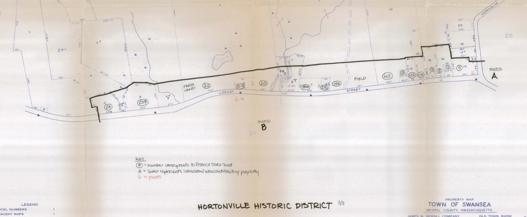
- Hortonville Historical District
- Luther's Corner Historical District
- Swansea Historical Village District
- NHR Houses not in Historic Districts
- Historical Homes not listed in Historic Districts or on the National Register
Hortonville Historic District
The homes on this list are noted as Local Historic Resources in the Historic and Cultural Resources section of the Master Plan for the Town of Swansea. Where available, links are provided to Swansea Historical Society surveys, the National Historic Register site information sheets and/or survey forms found on the Massachusetts Cultural Resource Information System (MACRIS) website.
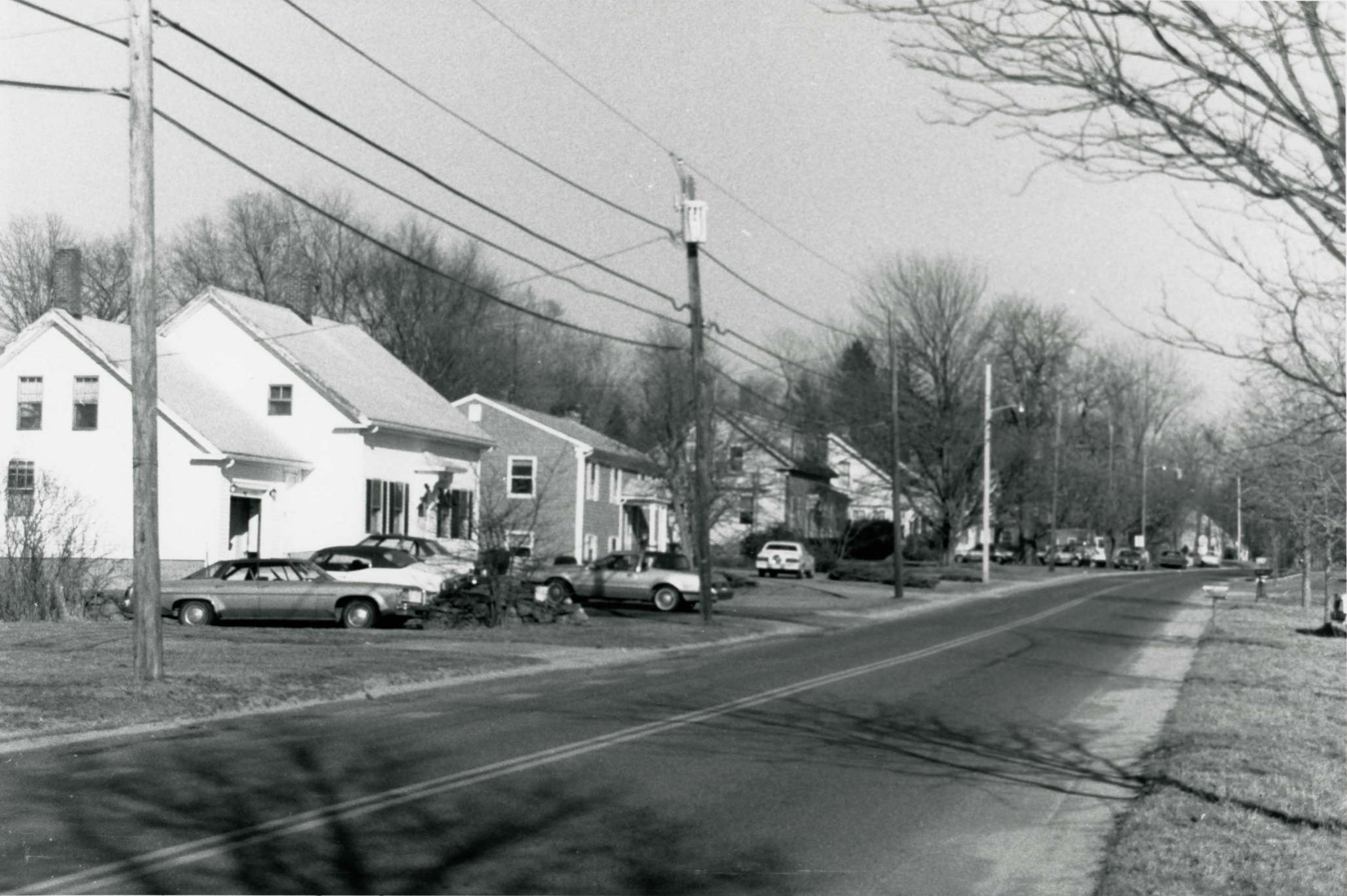
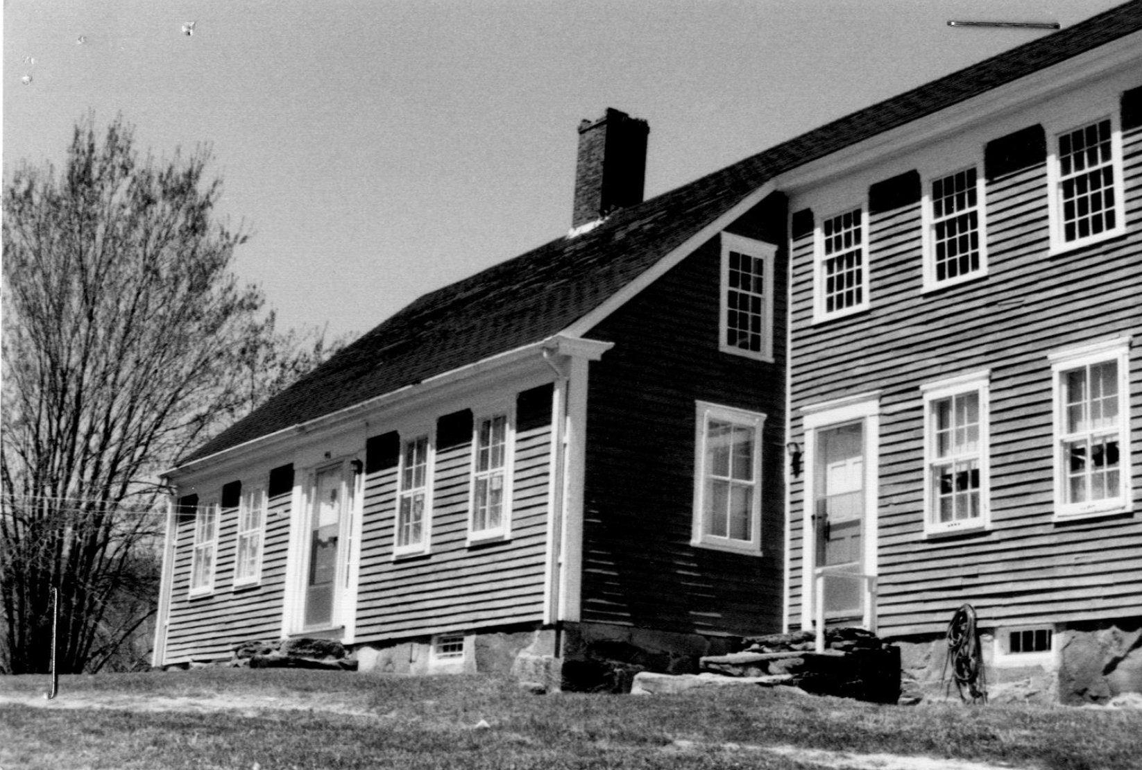
"Hortonville Historic District is a visually cohesive, linear group of primarily residential and farm buildings located in a rural setting in northern Swansea. These buildings are associated with the area's development from a collection of scattered 18th-century farmsteads into a nucleated village by the late 19th century. In addition to its continued agricultural emphasis, Hortonville achieved local importance as a primary industrial location in Swansea in the 19th century; only the residential constructiongenerated by the industrial development is extant. The rural setting and the range of residential building styles—from Georgian to Colonial Revival—are important character-defining features of the district."
HISTORICAL SIGNIFICANCE: "Locust street, the primary road through Hortonville, was a native Indian path and major transportation route connecting the present Fall River and Taunton areas to Narragansett Bay. Early settlement of the area that is now Hortonville occurred in the mid-18th century. Members of three families — the Hales, Martins, and Eddys — built the first homes at the western end of the historic district, the location of fertile farmland."
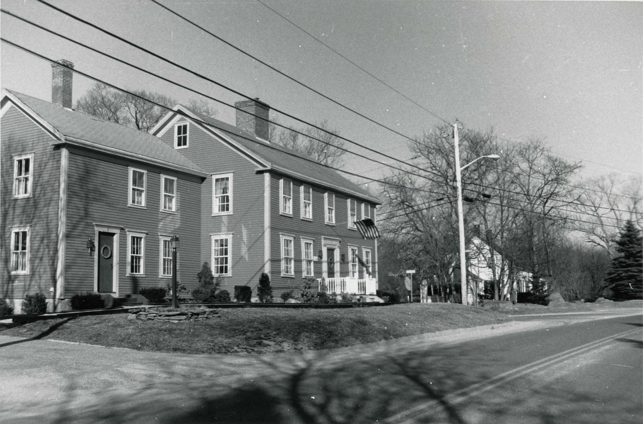
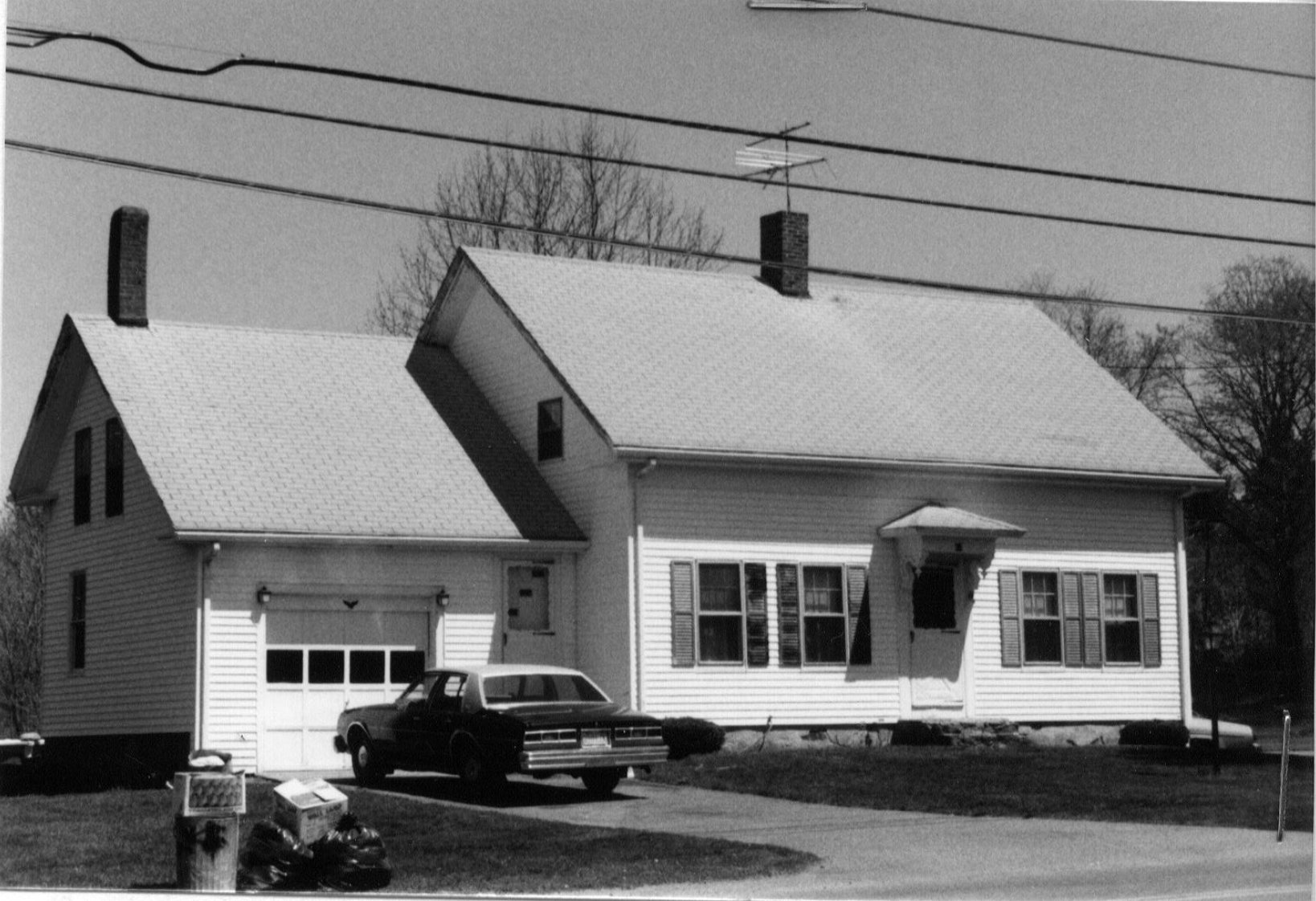
"Hortonville vas originally part of farmland granted to John Haile (Hale) from England in 1709. A housewright by trade, John Hales served Swansea as highway surveyor, and built his house (no longer extant) at the site of 416 Locust Street. At the time of his death in 1718, Hale owned 355 acres in Swansea and 30 acres in adjacent Rehoboth. Five generations later, Daniel Hale (1758-1830), a shoemaker and carpenter, lived and worked the land. His grandson Daniel Hale (1794-1867) built the Greek Revival house set back from the road at 416 Locust Street (ca. 1845-MHC 4fC25). In 1894, a portion of the farm with street frontage was sold to nephew Daniel Hale (1832-1896), who built the late Italianate house at 410 Locust Street (MHC #C25, Photo #7). Both houses remained in the family and the land was operated as a farm at least until the death of William Hale in 1974. The family cemetery at the southwestern comer of the property (MHC 4tC809) contains 30 stones ranging in date from 1784 to 1974. Today, the acreage of the original land grant has been substantially reduced; some property to the east has been leased for use by Baker Farm."
More detailed information on The Hortonville Historic District can be found on the National Archives website:
- Massachusetts MPS Swansea MRA
- Massachusetts MPS Hortonville Historic District
- The Hortonville Historic District from the MACRIS website (
 )
)
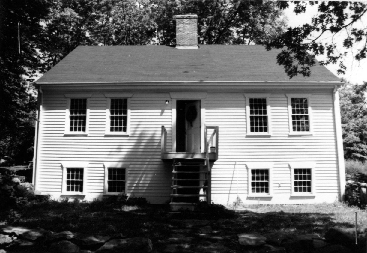
All Hortonville Historic District houses shown below are listed on the National Archives website:
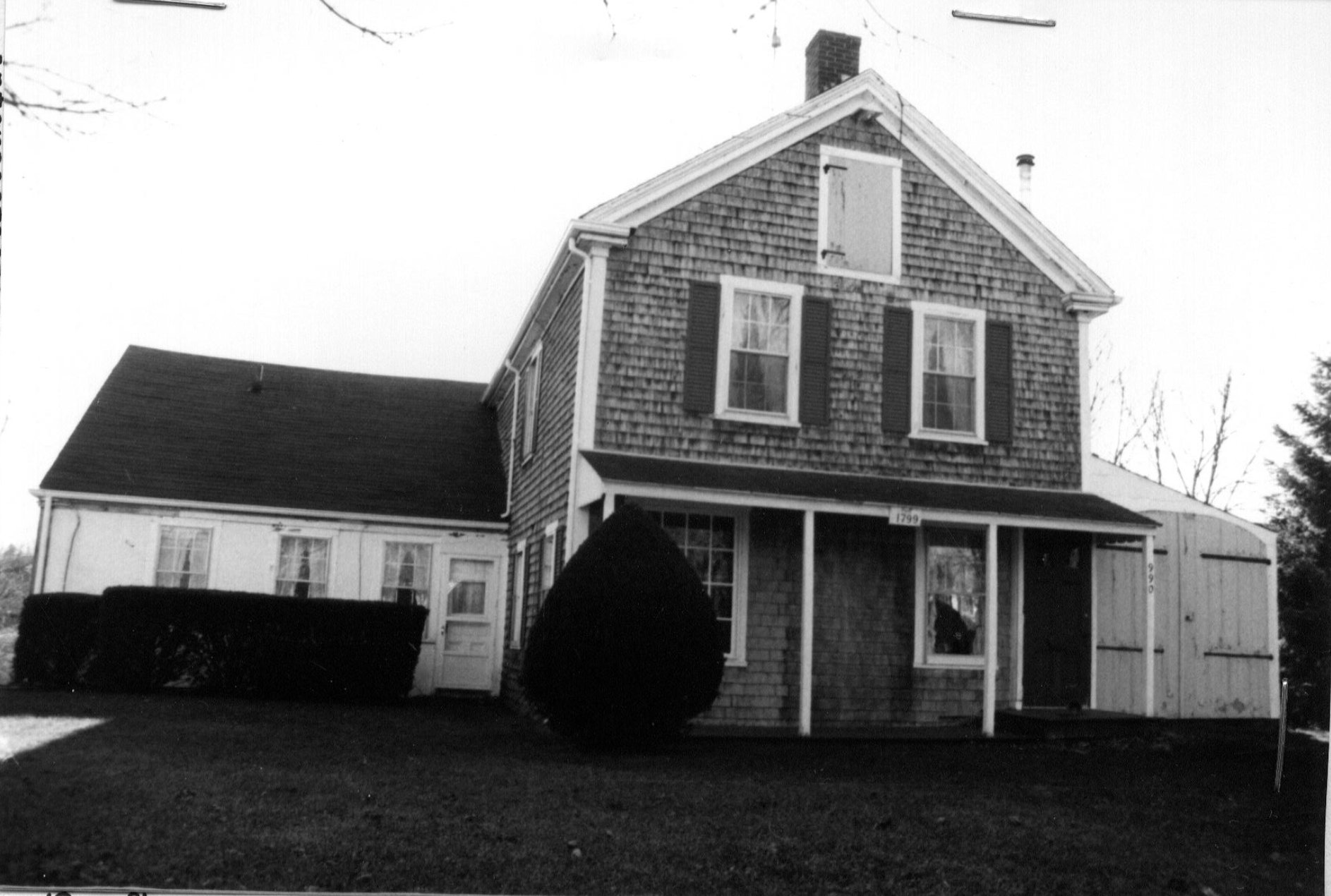
990 Hortonville Road c. 1783 |
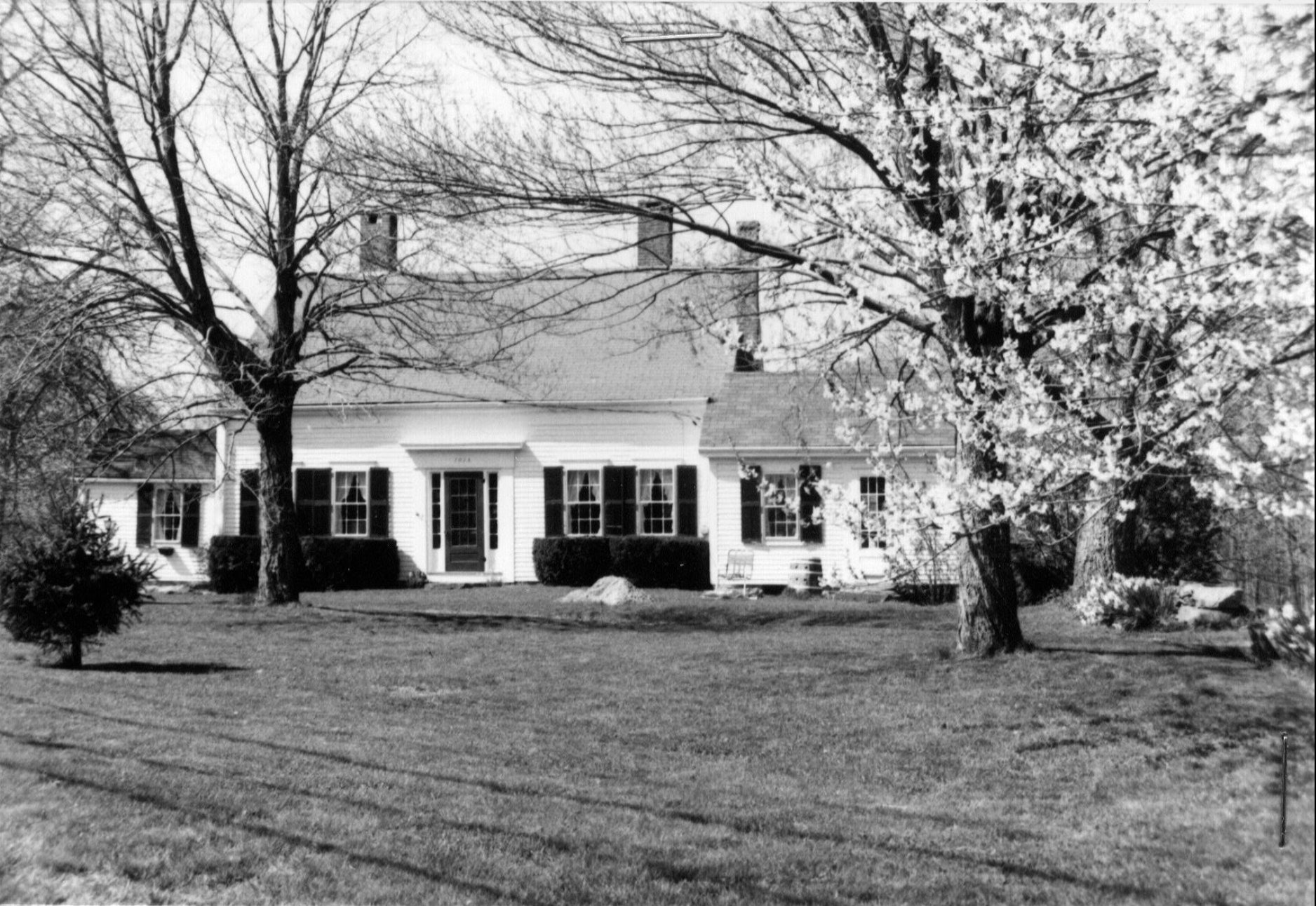
1015 Hortonville Road c. 1835 |
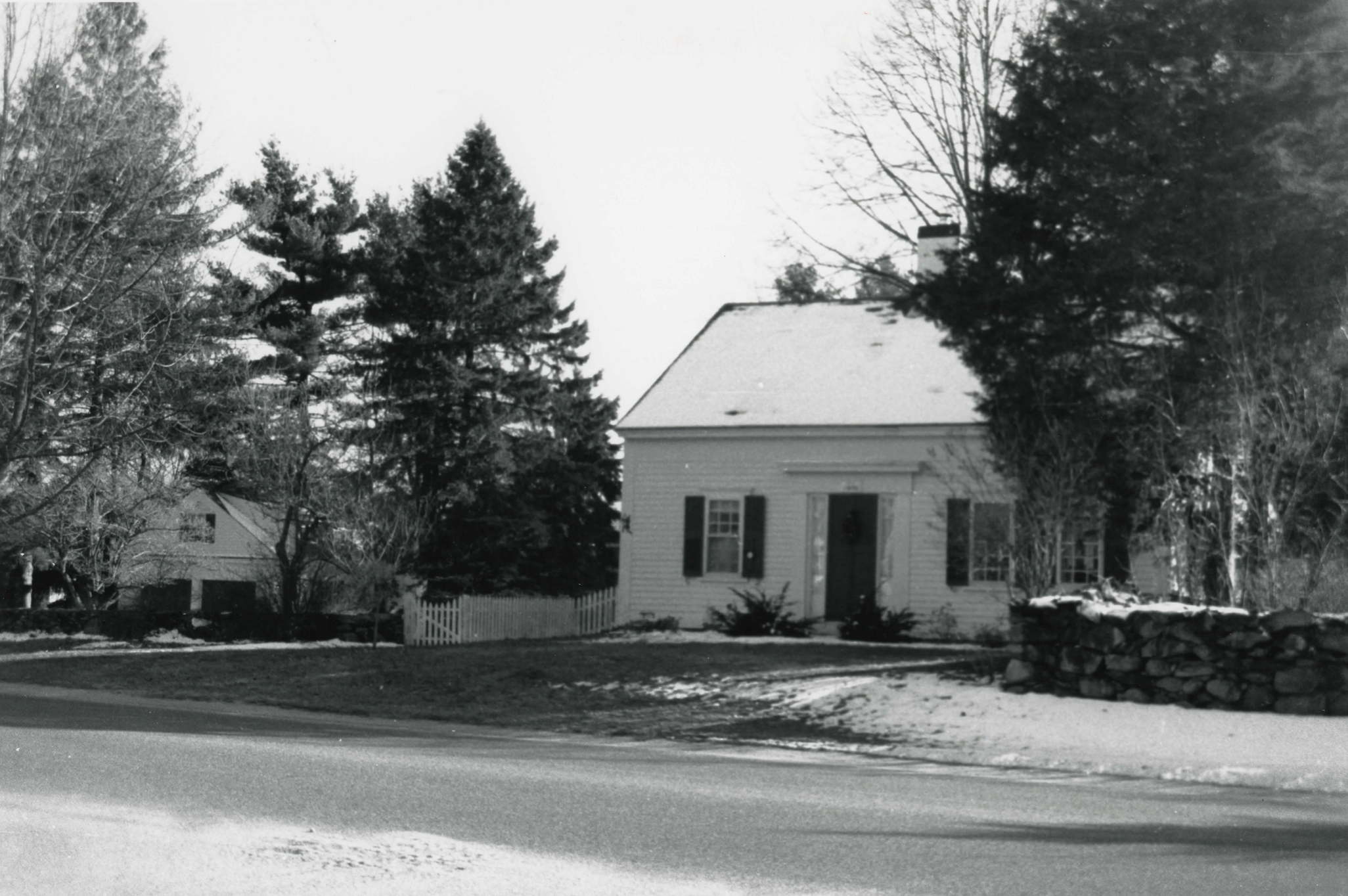
4 Locust Street c. 1810 |
5 Locust Street c. 1810 |
24 Locust Street 1757 |

28 Locust Street c. 1989 |
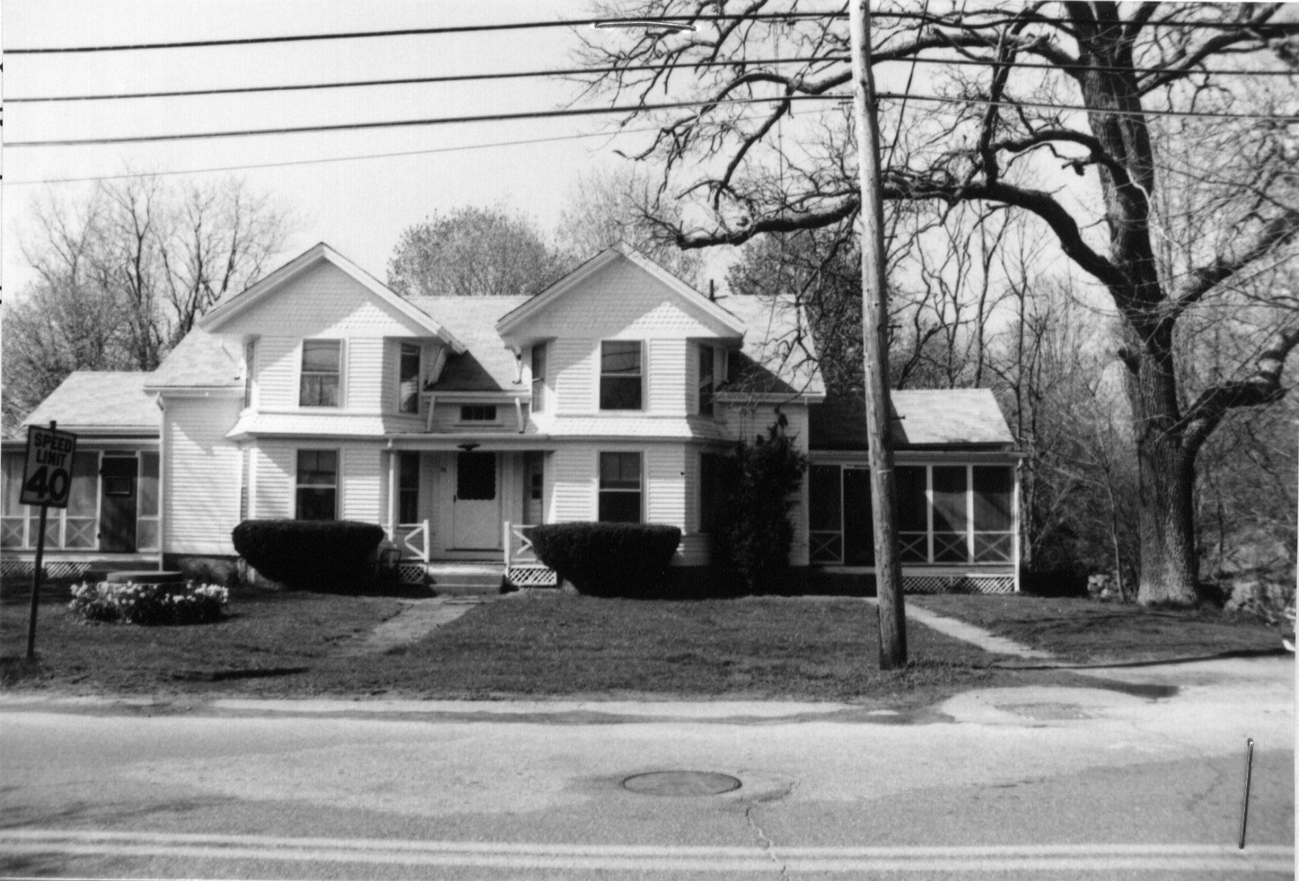
31-33 Locust Street c. 1890 |
39 Locust Street c. 1890 |
45 Locust Street c. 1890 |
|
50 Locust Street c. 1920 |
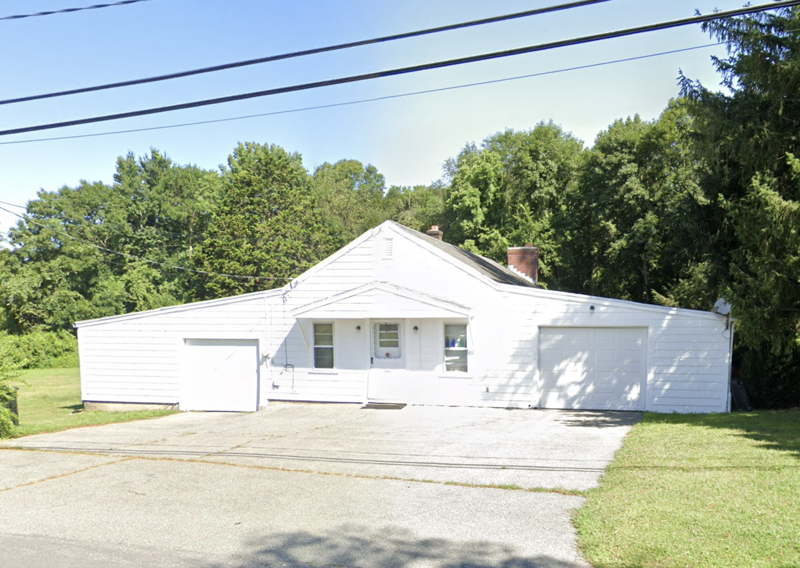
55 Locust Street c. 1970's |
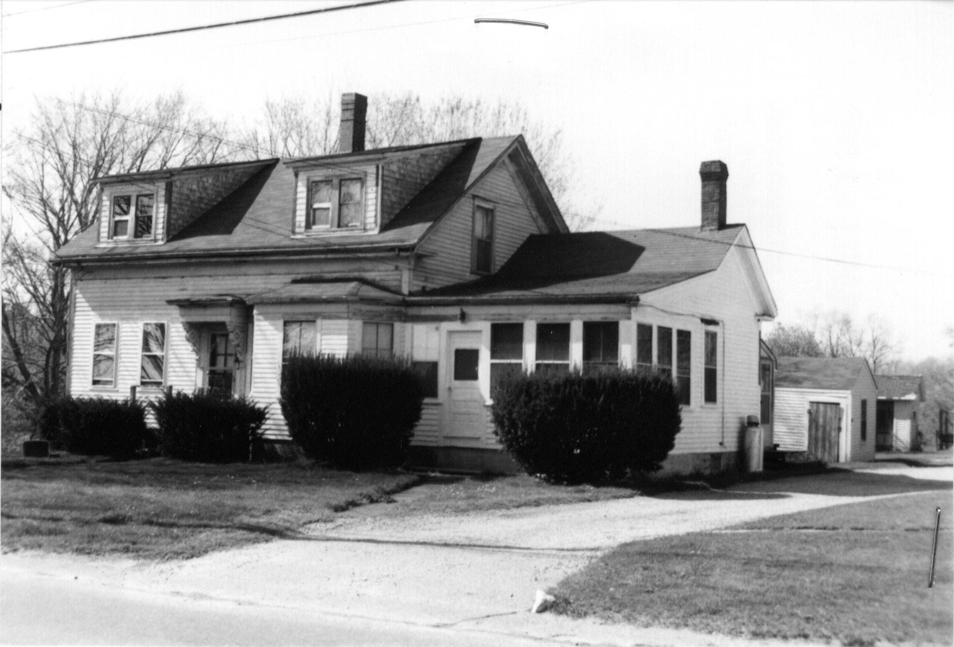
67 Locust Street c. 1870 |
77 Locust Street late 1830's |
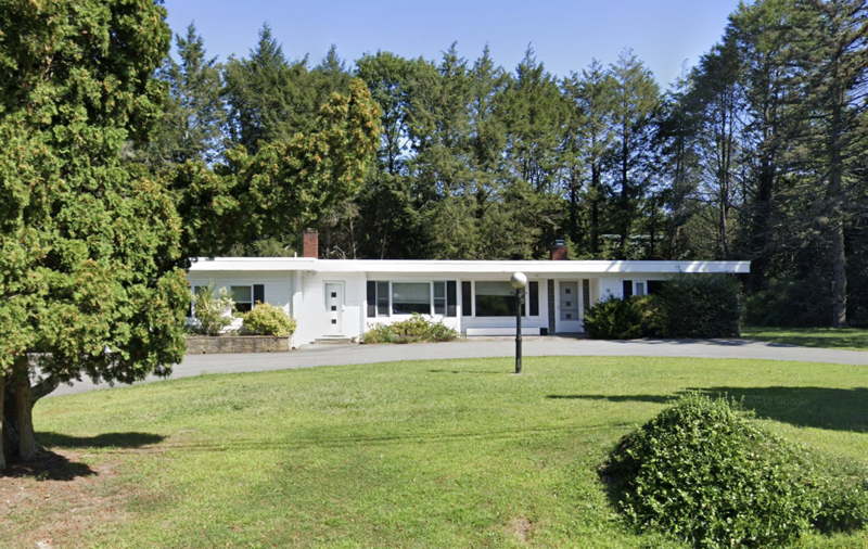
89 Locust Street 1950's |
139 Locust Street 1950's |
|
148 Locust Street 1940's |
161 Locust Street 1950's |
161A Locust Street 1950's |
|
162 Locust Street c. 1970's |
202 Locust Street c. 1960's |
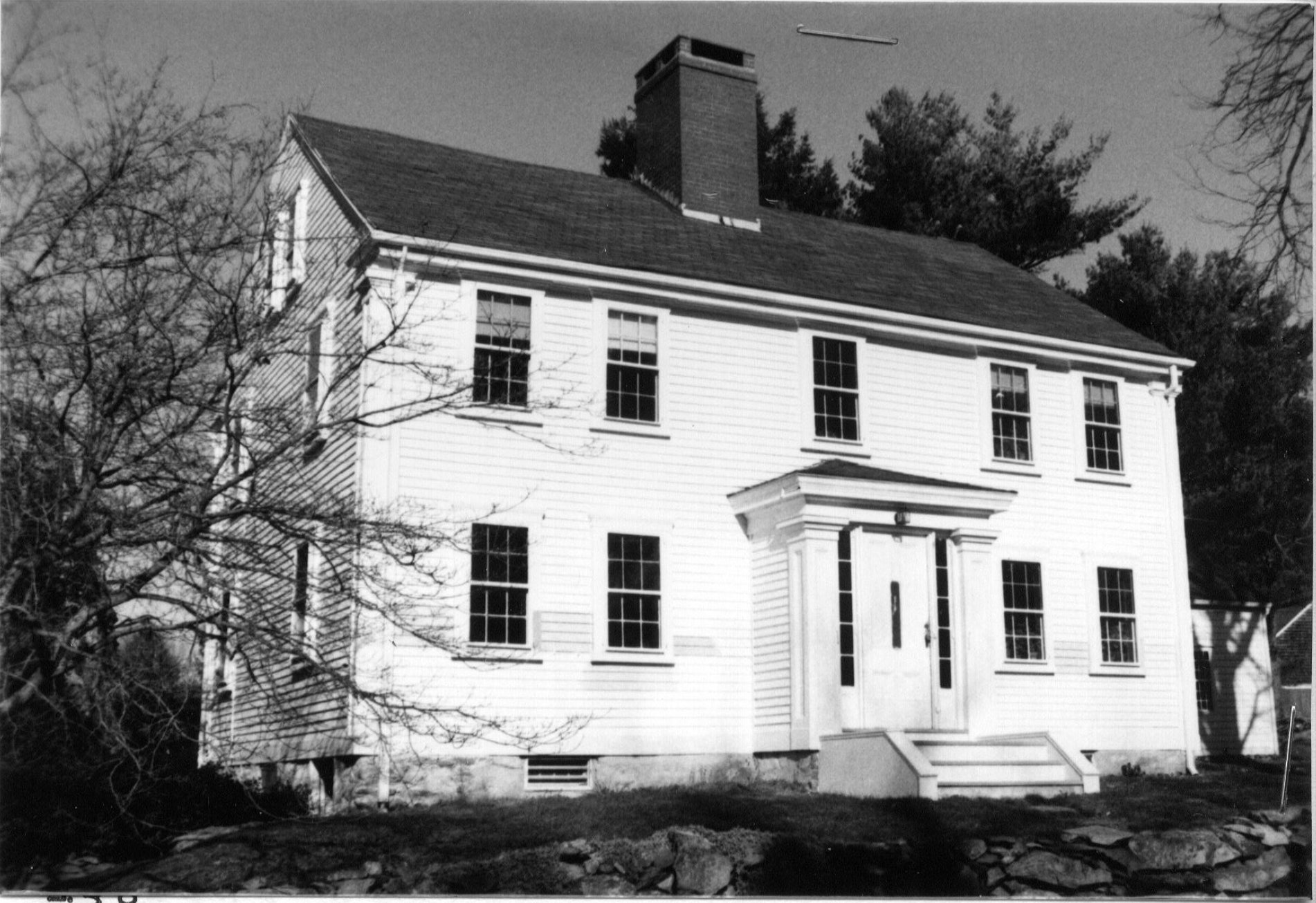
235 Locust Street c. 1750 |
241 Locust Street c. 1750 |
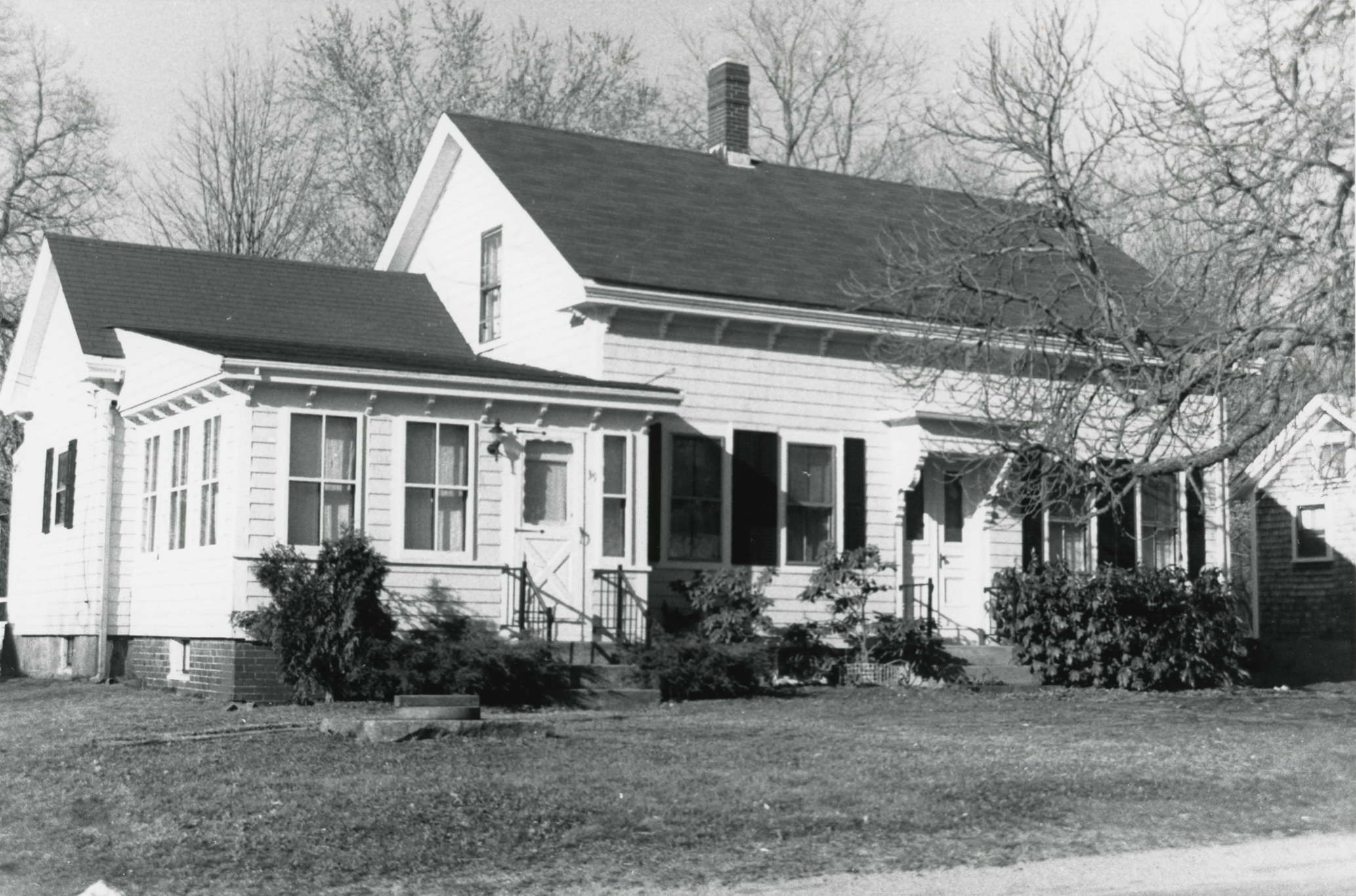
261 Locust Street c. 1900 |
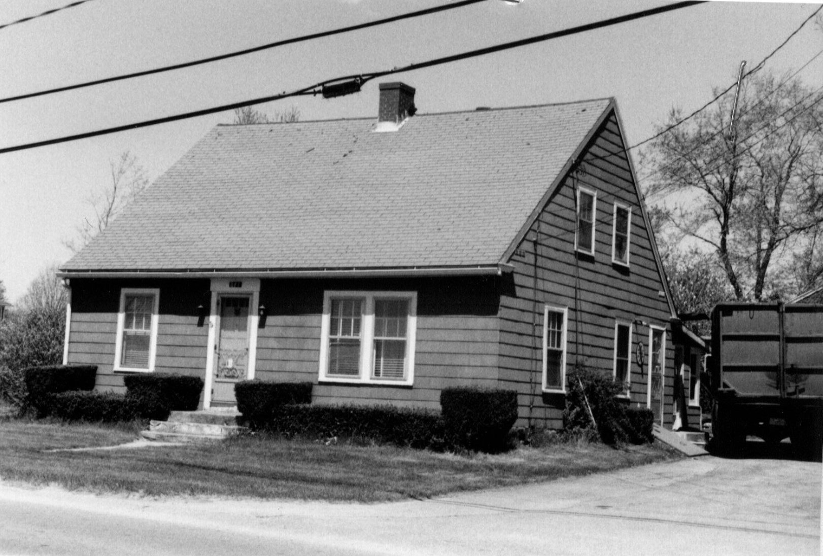
359 Locust Street 1940's |
397 Locust Street c. 1736 |
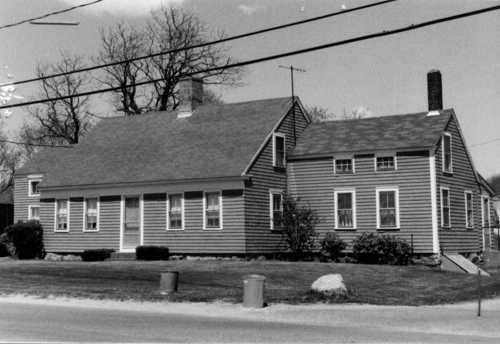
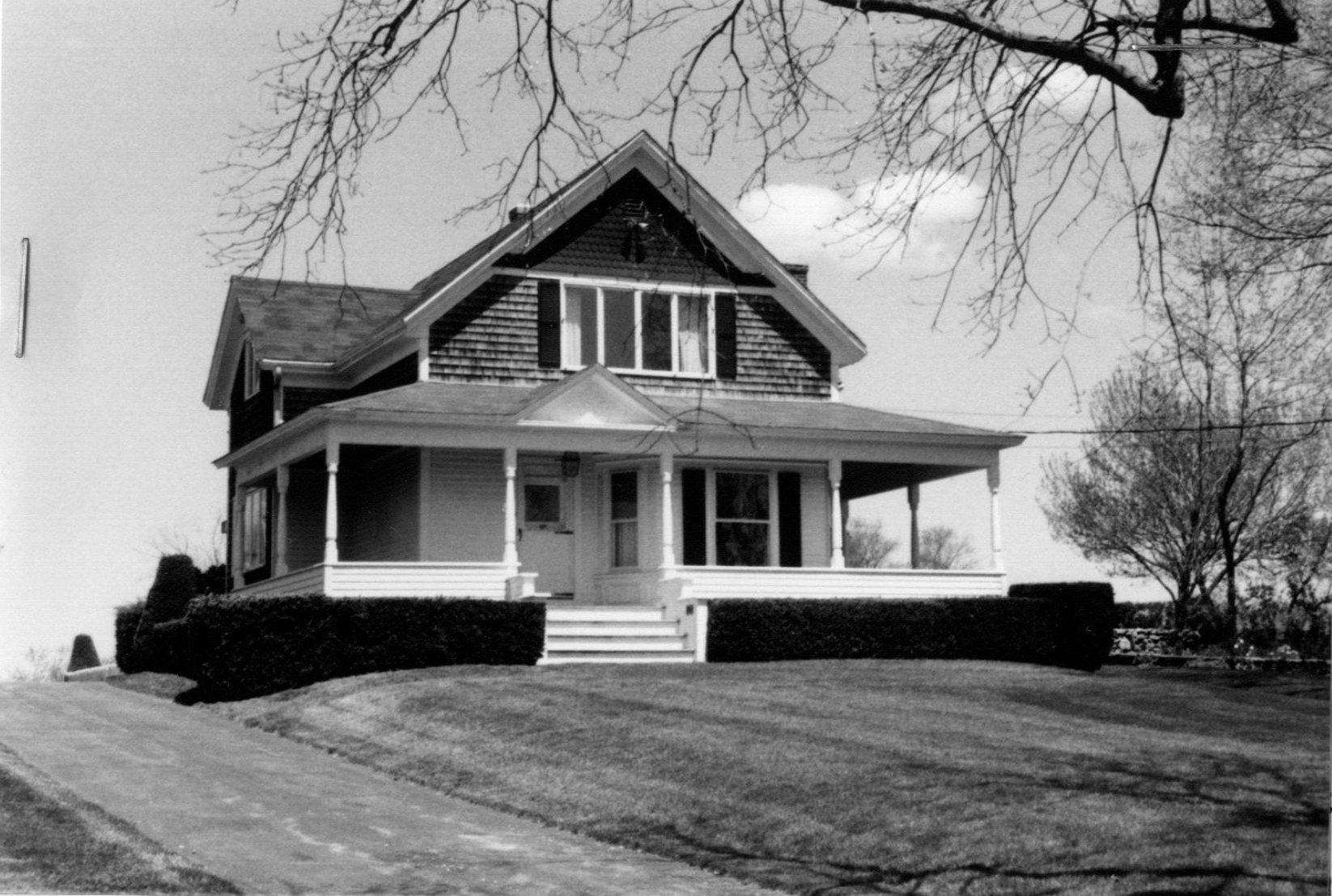
410 Locust Street c. 1894 |
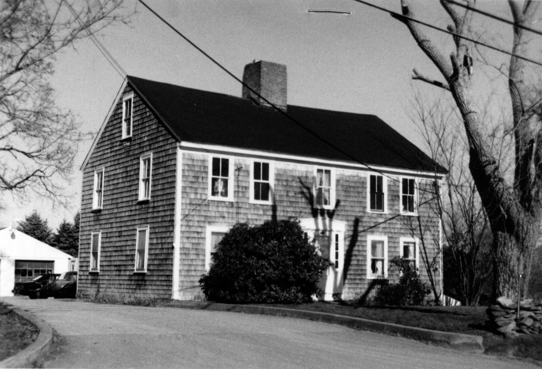
416 Locust Street c. 1845 |
11 Maiden Lane c. 1800 |
Maiden Lane c. 1806 |
|