Swansea Historical Society

Historical Districts
- The Colony Historic District - Southern Gardner's Neck
- Barneyville Historical District
- Hortonville Historical District
- Luther's Corner Historical District
- Swansea Historical Village District
- NHR Houses not in Historic Districts
- Historical Homes not listed in Historic Districts or on the National Register
Historical Homes not listed in Historic Districts
The homes on this list are noted as Local Historic Resources in the Historic and Cultural Resources section of the Master Plan for the Town of Swansea. Where available, links are provided to Swansea Historical Society surveys and/or the National Historic Register site information sheets. These homes are not currently listed as being located in designated historic districts in the town.
More detailed information on Historic Districts can be found on the National Archives website:
 )
)View the 1982 Massachusetts Historical Commission Reconnaissance Survey Town Report:
& Cemetery Baptist Street c. 1848 |
98 Bay Point Road 1896 |
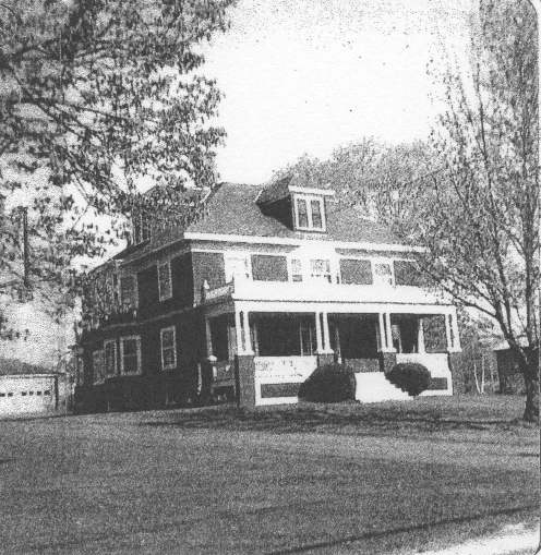
132 Bay Point Road 1922 |
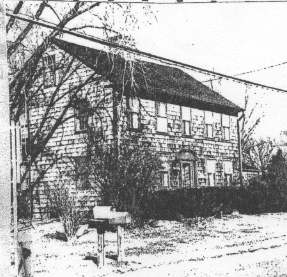
181 Cedar Avenue c. 1740 |
262 Cedar Avenue c. 1790 |
Gardners Neck Rd @ Church St 1916 |
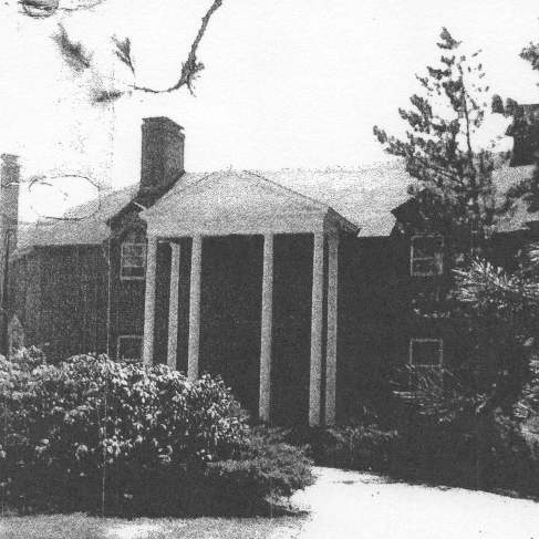
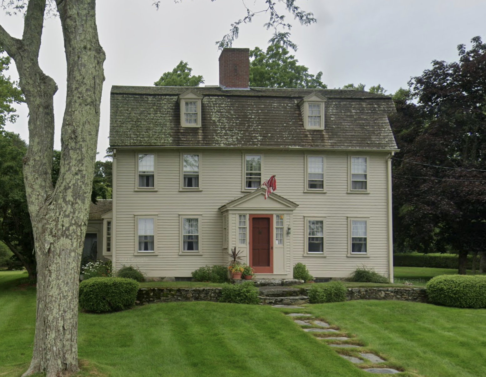
House 1035 Gardners Neck Road 1768 |
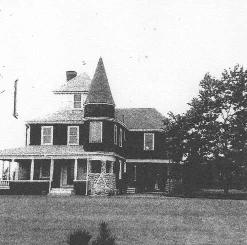
1129 Gardners Neck Road 1903 |
1205 Gardners Neck Road 1790 |
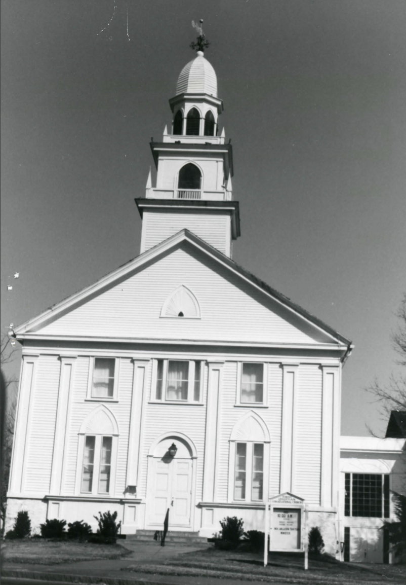
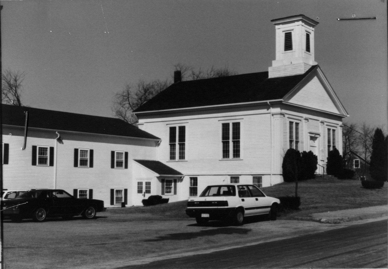
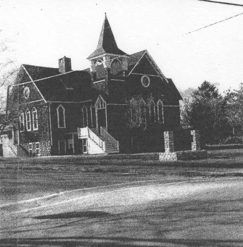
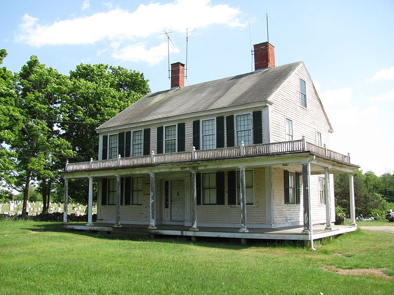
Congregational Church G.A.R. Highway 1833 |
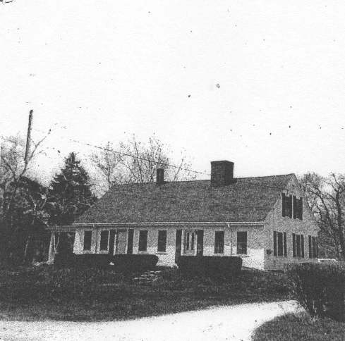
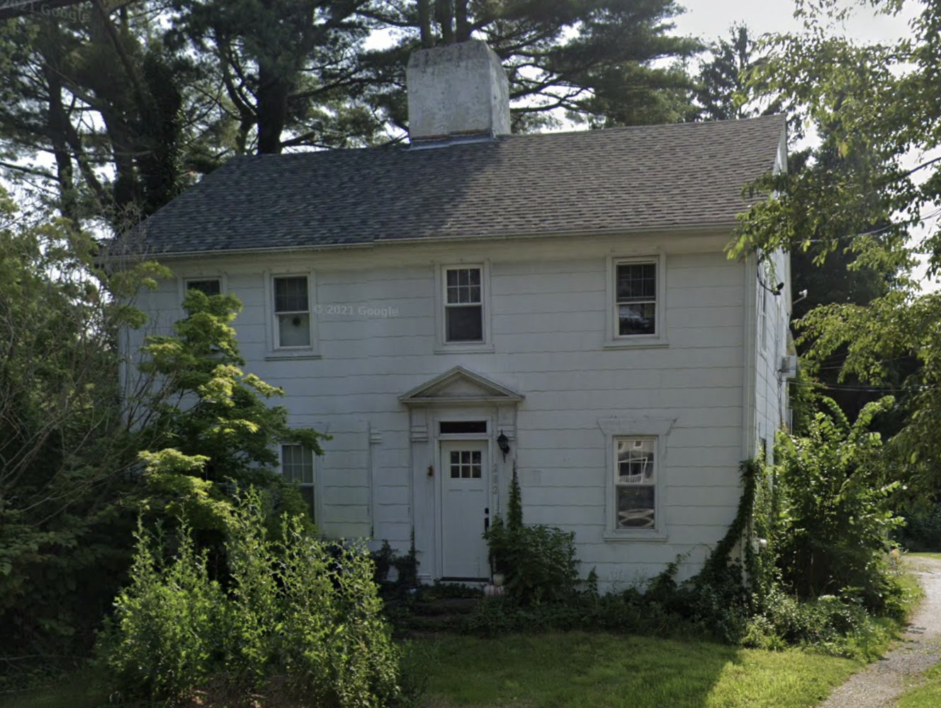
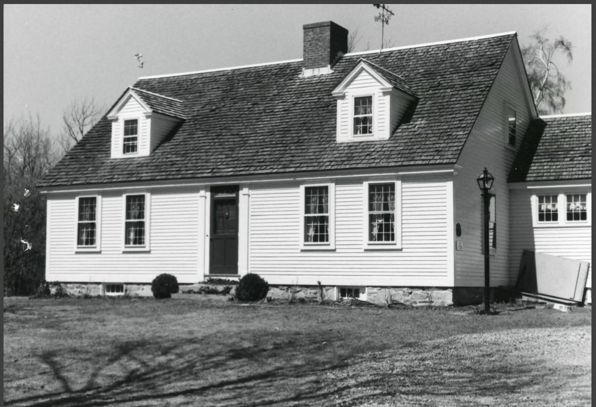
306 Hortonville Road c. 1790 |
177 Market Street c. 1725 |
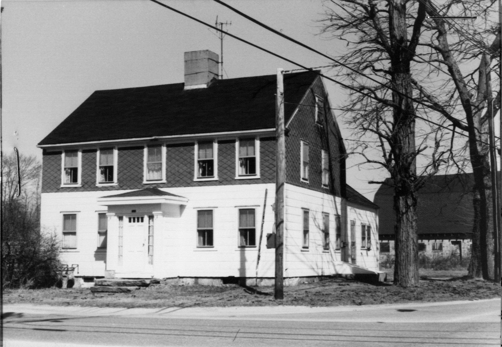
282 Market Street c. 1742 |
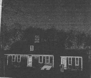
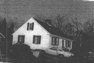
495 Marvel Street c. 1800 |
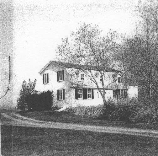
- more info - 90 Milford Road 1820 |
61 Old Providence Road c. 1779 |
79 Old Warren Road 1849 |
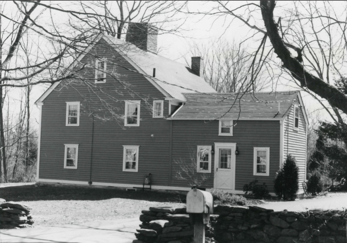
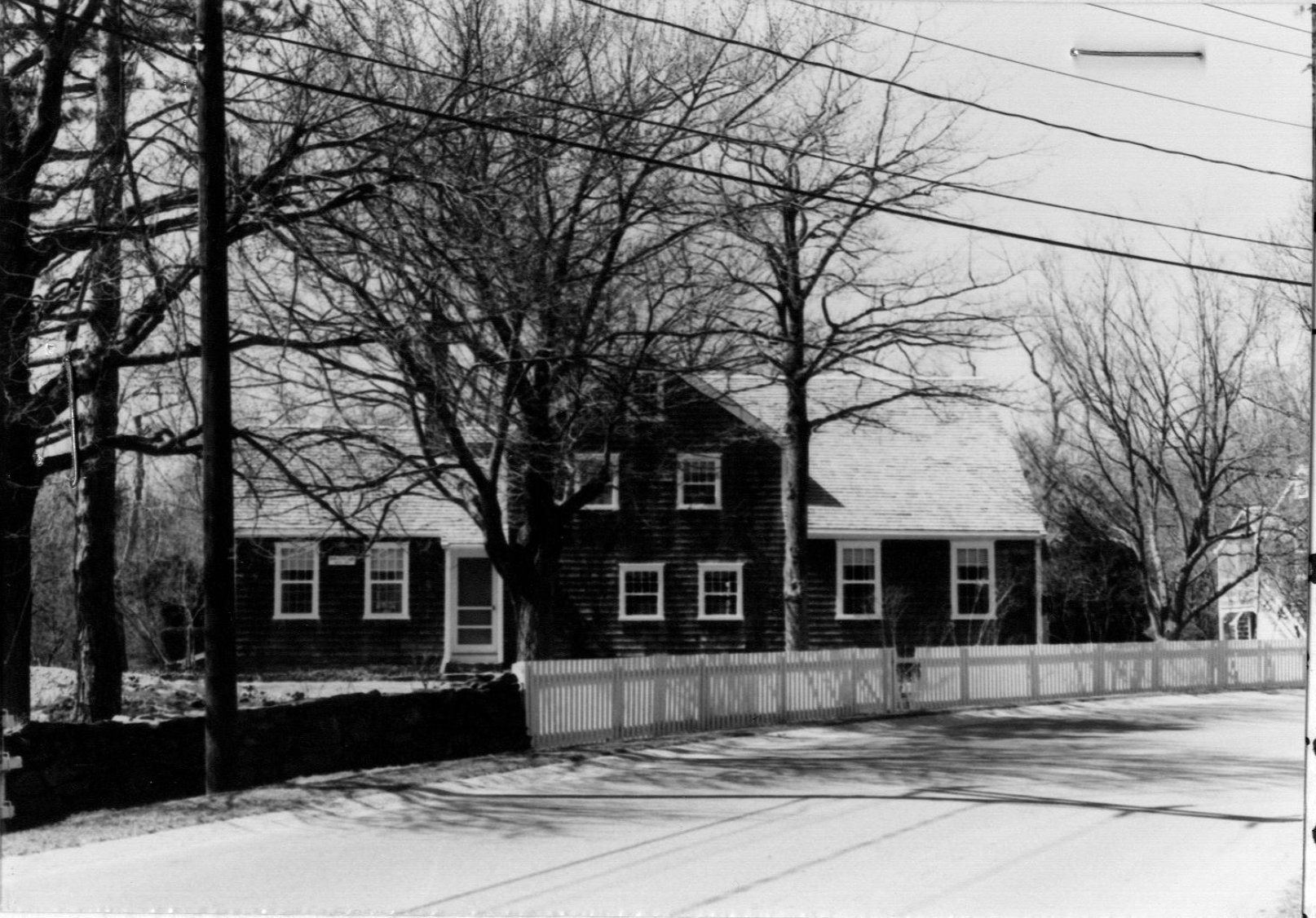
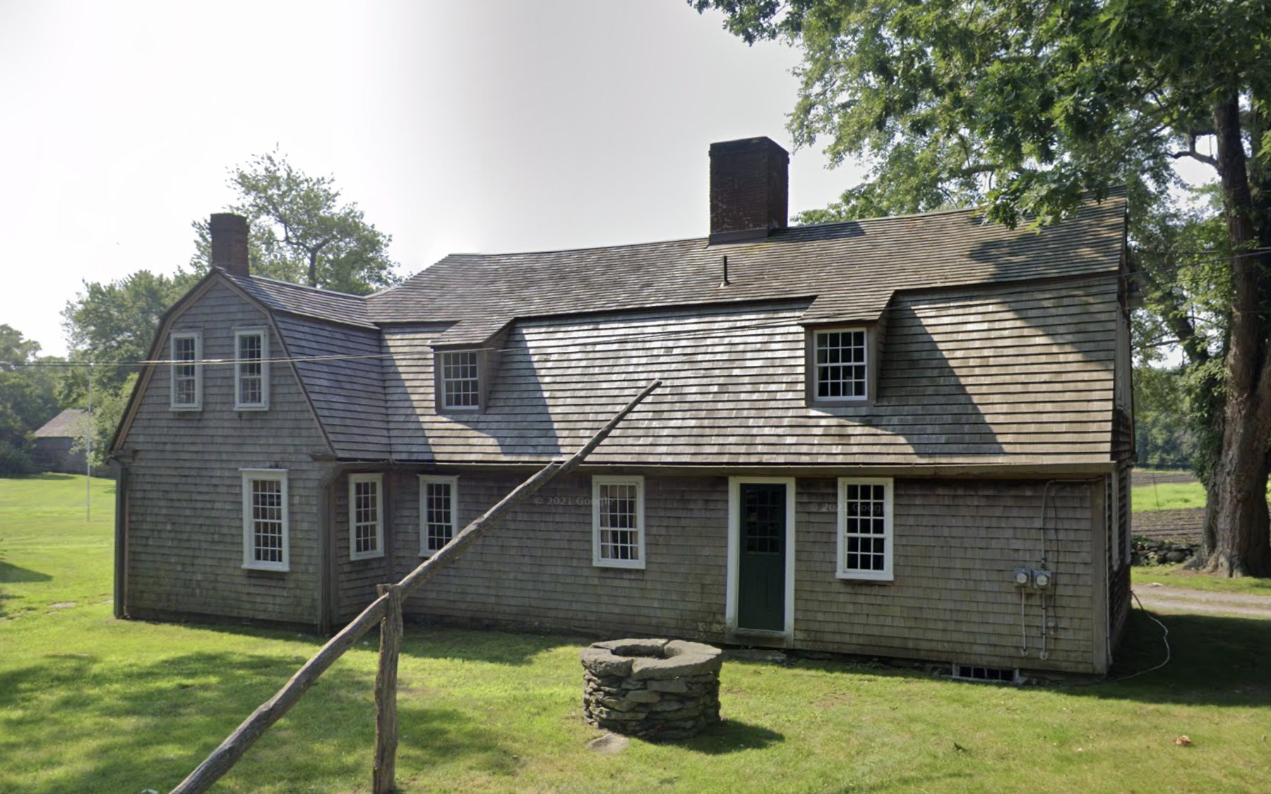
412 Old Fall River Road 1701 |
361 Pearse Road c. 1800 |
703 Pearse Road c. 1752 |
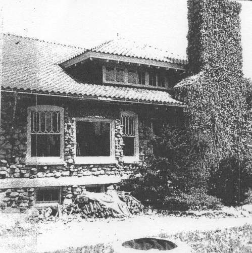
36 Riverview Avenue 1923 |
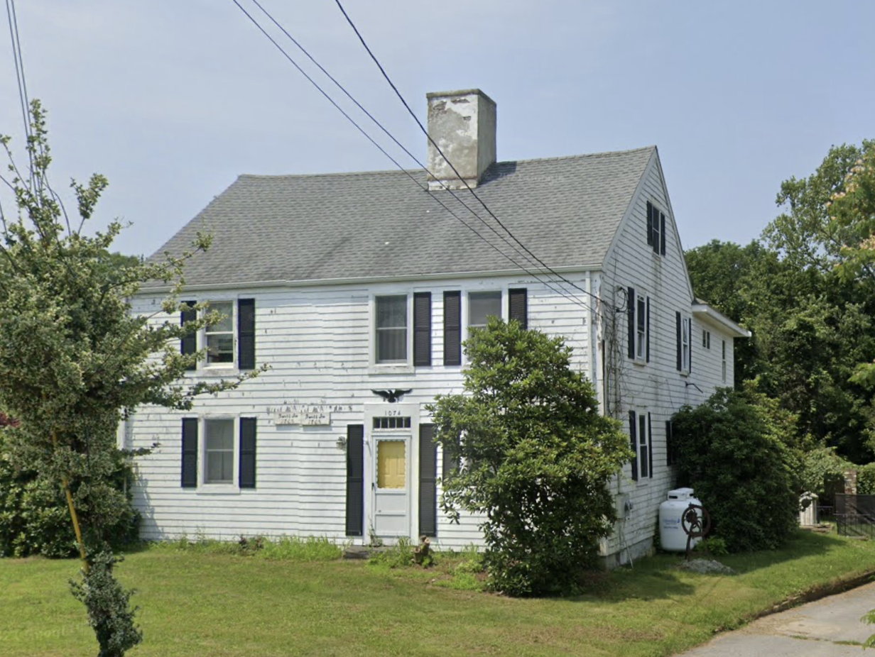
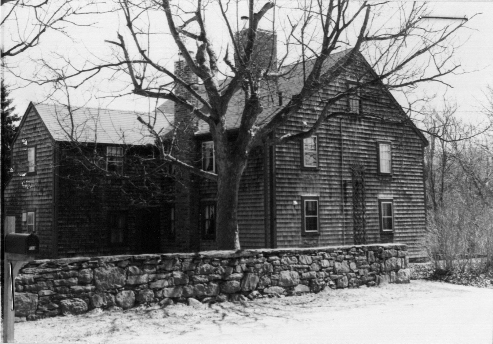
1074 Sharps Lot Road c. 1765 |
68 Stevens Road 1905 |
22 Stoney Hill Road c. 1728 |